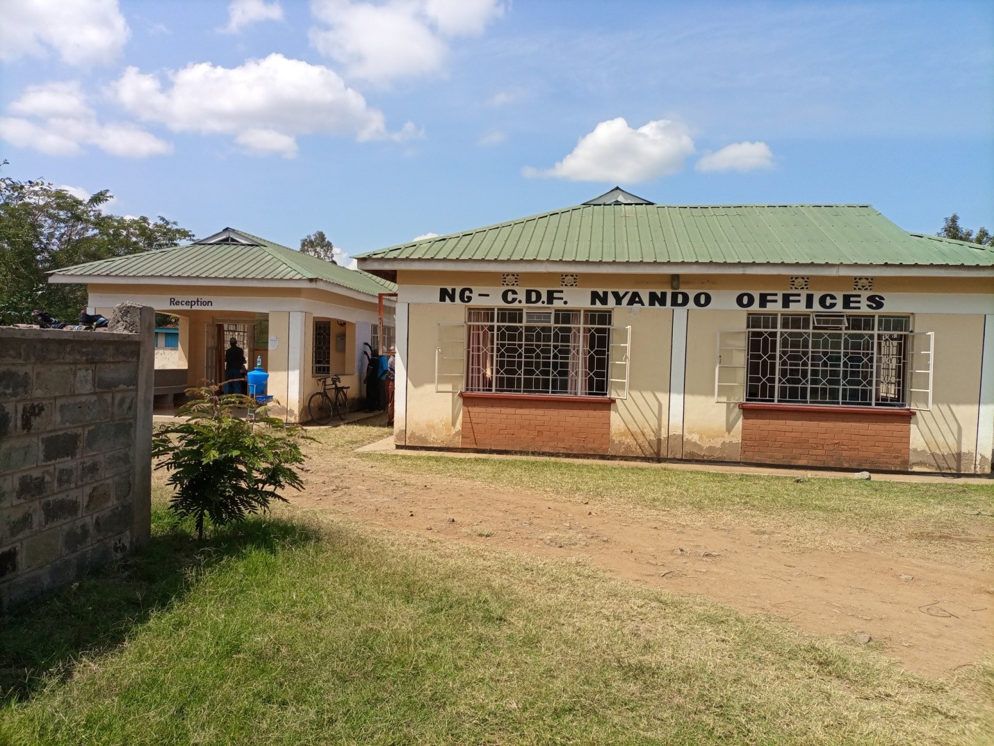
About Us
Nyando Constituency
Nyando catchment is sub-humid with a mean annual temperature of 23°C. The mean annual rainfall varies from 1000mm near Lake Victoria to over 1600mm in the highlands. The annual rainfall pattern shows no distinct dry season. Its tri-modal with peaks during the long rains (March-May)
and short rains (October-December). The third peak occurs in August. The rainfall is controlled by the northward and southward movement of the Inter-Tropical Convergence Zone (ITCZ). However, altitude,
proximity to the highlands and nearness to the lakeshore causes considerable spatial variations in rainfall.
The areas with minimal rainfall are around the plains and lakeshore areas while the highland areas have high
rainfall.
Geology
The physiography consisting of scarps formed by the rift faults having east-west to ENEWSW direction which shape the Kavirondo Rift branching from the main north-south oriented Rift Valley system. Footslopes are typically along the Nandi escarpment in the north and Mau escarpment in the south. A gently sloped piedmont plain and very flat alluvial plain (Kano) are widely spread in the catchment. The
grey and black soils in the Kano plain are mainly found in the surface of alluvial deposit and Pleistocene deposit (JICA). Sandy red soils derived from Granite is mainly found in the foot and piedmont along the escarpments.
Land use
The land use is primarily small-scale subsistence agriculture and large-scale sugar cultivation. Subsistence crops include Maize, Sorghum, Pulses and Tuber crops. In the plains Cotton is grown and Rice is grown further downstream. Livestock raising is also a main agricultural activity with large areas left for pasture.
Access NG-CDF Information on your Mobile


County Assembly Wards in Nyando Constituency:
East Kano/Wawidhi Ward
- County Assembly Ward No.:
- County Assembly Ward Name: East Kano/Wawidhi
- County Assembly Ward Population (Approx.): 17,334
- County Assembly Ward Area In Sq. Km (Approx.):
- County Assembly Ward Description: comprises part of Magina, Nyakongo, Katolo, Achego and Ayweyo sub–Locations .
Awasi/Onjiko Ward
- County Assembly Ward No.:
- County Assembly Ward Name: Awasi/Onjiko
- County Assembly Ward Population (Approx.): 30,937
- County Assembly Ward Area In Sq. Km (Approx.):
- County Assembly Ward Description: comprises part of Kobongo, Border I, Ayucha, Border II and Wang’ang’a Sub–Locations
Ahero Ward
- County Assembly Ward No.:
- County Assembly Ward Name: Ahero
- County Assembly Ward Population (Approx.): 31,440
- County Assembly Ward Area In Sq. Km (Approx.):
- County Assembly Ward Description: comprises part of Kakmie, Kakola Ahero,Tura, Kakola, Kakola Ombaka, Kochogo Central and Kochogo North sub–Location of Kisumu County
Kabonyo/Kanyagwal Ward
- County Assembly Ward No.:
- County Assembly Ward Name: Kabonyo/Kanyagwal
- County Assembly Ward Population (Approx.): 25,065
- County Assembly Ward Area In Sq. Km (Approx.):
- County Assembly Ward Description: comprises part of Kabony Irrigation Scheme, Kapiyo, Upper Bwanda, Kwa Kungu, Central Bwanda, Kolal, Anyuro, Ogenya,Ugwe, Nduru and Kadhiambo Sub–Locations
Kobura Ward
- County Assembly Ward No.:
- County Assembly Ward Name: Kobura
- County Assembly Ward Population (Approx.): 36.261
- County Assembly Ward Area In Sq. Km (Approx.):
- County Assembly Ward Description: comprises part of Kotieno, Kamayoga, Lela, Masogo, Nyamware North, Nyamware South, Rabour and Okana Sub–Locations of Kisumu County